Fingal Head 1m Height Contours
These 1m height contours were sourced and circulated from the Tweed Shire Council by the Fingal Head Community Association following the 2017 flood.
Fingal_Head_1m_Contours_A3_20210617_Reduced_Size16These 1m height contours were sourced and circulated from the Tweed Shire Council by the Fingal Head Community Association following the 2017 flood.
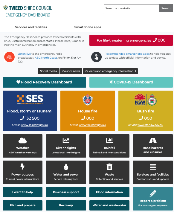
Fingal_Head_1m_Contours_A3_20210617_Reduced_Size16Our community can bookmark and check out the Tweed Shire Council’s Tweed Emergency Dashboard.
If you get lost trying to find river levels in the BOM web site, just go to the Tweed Emergency Dashboard and click on the big button marked “River heights” – it will take you to the Tweed River section of the BOM web site.
Once in there you can view the graphical plots of all the river gauges on the Tweed River, at Barney’s Point, the closest to Fingal Point.
If you look at the river heights from the past few days you’ll be able to see the effects of the rain in our upper catchments from a few days ago and yesterday. There will be two spikes in the river heights.
Go To: Tweed Shire Council – Emergency Dashboard
Go To: Tweed Shire Council – Tweed River – Latest River Heights
